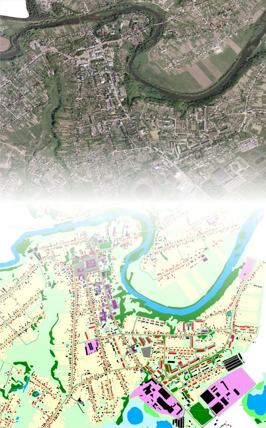
ПК «ГЕО» выполняет работы по обработке материалов аэро- и космоснимков на цифровых фотограмметрических системах, разработке схем территориального планирования муниципальных районов, генеральных планов сельских и городских поселений с описанием местоположения границ населенных пунктов, правил землепользования и застройки сельских и городских поселений с описанием местоположения границ территориальных зон. С 2007 года специалистами компании успешно разрабатываются схемы территориального планирования муниципальных районов Калужской области, а также генеральные планы и Правила землепользования и застройки сельских и городских поселений Калужской области.
Документы территориального планирования подготавливаются нами на программном продукте, являющемся собственной разработкой — ГИС «Терра» (внесен в Реестр отечественного ПО под номером 236) строго в соответствии с требованиями Приказа Минэкономразвития РФ №10 от 09.01.2018г. Проекты, разработанные нашими специалистами, успешно размещаются в...


Напишите что вам нужно и получите предложения от проверенных поставщиков