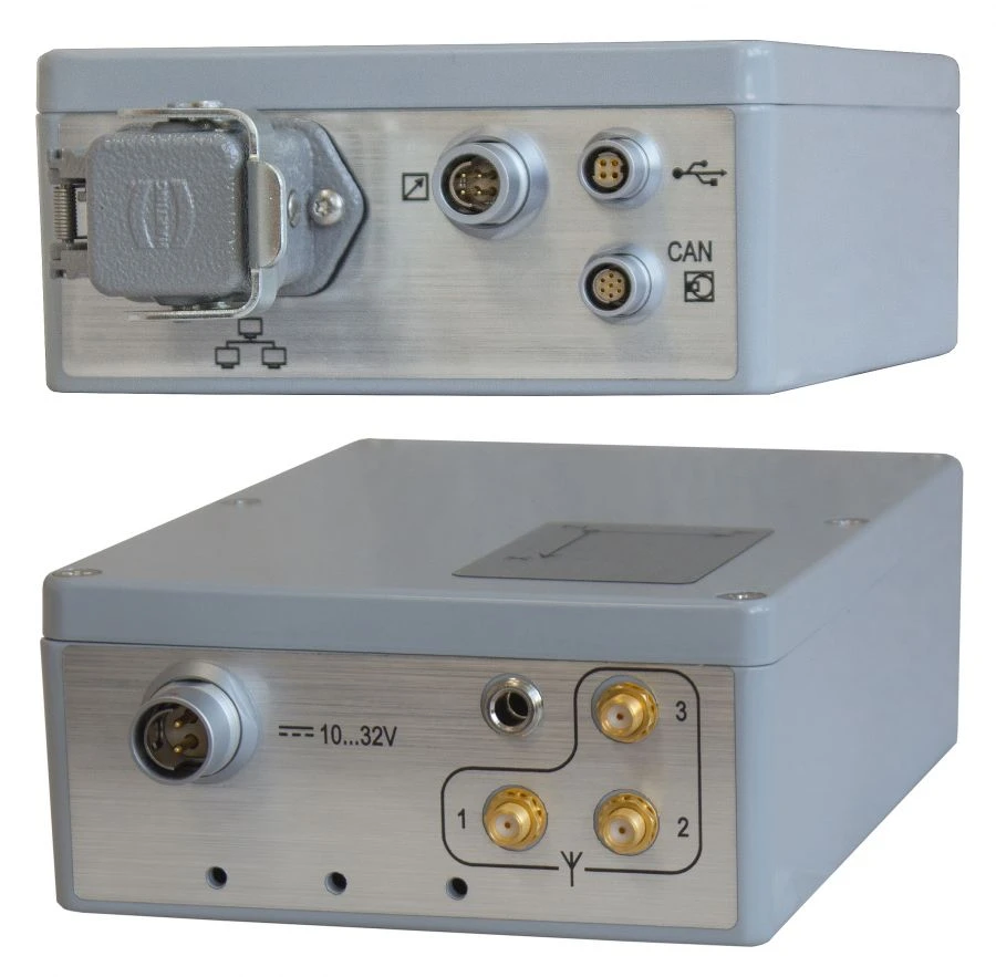
Изделие предназначено для определения местоположения, пространственной ориентации и направления движения объектов-носителей наземного, морского или воздушного применения, а также синхронизации аппаратуры пользователя со всемирным координированным временем (UTC).Изделие обеспечивает определение навигационных параметров (геодезических широты, долготы и высоты), углов ориентации (курс, крен, тангаж), вектора скорости, абсолютного времени.Для повышения точности и надежности навигационных данных производится комплексирование данных от ГНСС и встроенных датчиков линейных и угловых ускорений, магнитометров и барометров. Предусмотрена возможность подключения к внешним датчикам ориентации и пройденного пути (одометру, CAN-шине автомобиля, магнитометру, радиокомпасу и т.п.) с целью повышения точности и надежности навигационных данных при пропадании или подмене сигналов ГНСС.
Изделие обеспечивает выдачу признаков достоверности каждого из определяемых параметров.
Напишите что вам нужно и получите предложения от проверенных поставщиков