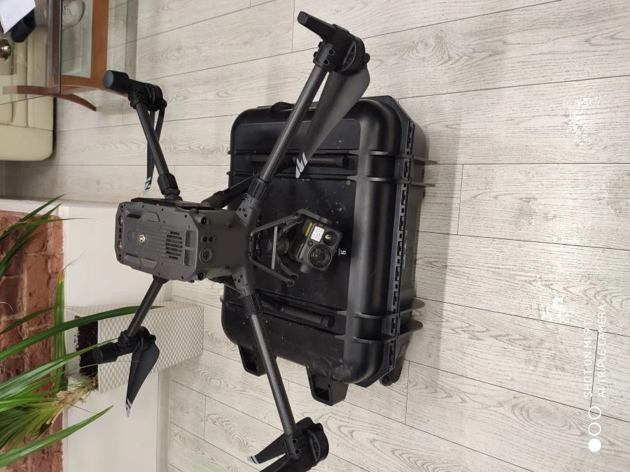
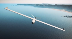
Многофункциональная беспилотная авиационная система Вертолетного типа ЖРГА.461417.099, ЖРГА.461417.099 ТУ (МБАС ВТ) предназначена для автономного пользования и ведения воздушной разведки с целью доведения в масштабе времени, близком к реальному, до органов управления и сил необходимой информации, а также сопровождения, наведения и корректировки действий спасательных подразделений и мобильных поисковых групп.
В состав МБАС ВТ входят следующие конструктивно законченные составные части:
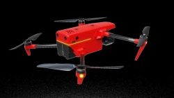
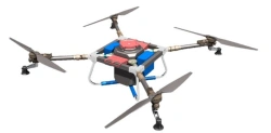
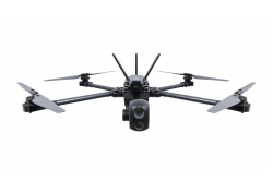
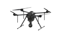
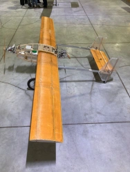
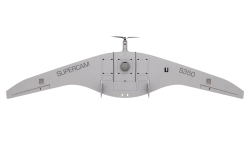
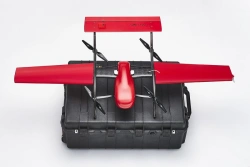
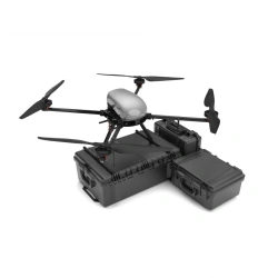
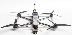
Беспилотное воздушное судно (БВС);
Наземная станция управления (НСУ);
Многофункциональный пульт управления (МПУ);
Комплект средств переноски и транспортировки;
Комплект ЗИП одиночный;
Зарядная станция;
Упаковка.
МБАС ВТ выполняет следующие основные функции:
дистанционный обзор участка местности в заданном районе с помощью Нагрузки целевой управляемой интегрированной из состава БВС с отображением видеоинформации на МПУ и НСУ;
дистанционное наблюдение за обнаруженными объектами и их сопро...

Напишите что вам нужно и получите предложения от проверенных поставщиков