
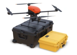
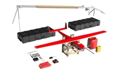
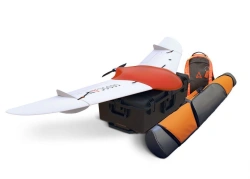
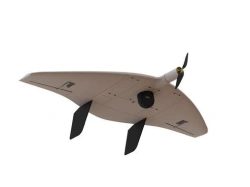
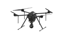
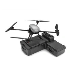
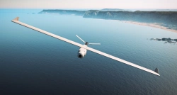
Беспилотная авиационная система Геоскан 801 включает в себя беспилотное воздушное судно и пульт дистанционного управления с 7-дюймовым сенсорным дисплеем высокого разрешения. Программное обеспечение, встроенное в пульт управления, позволяет построить полетное задание, выполняемое в автоматическом и полуавтоматическом режимах.
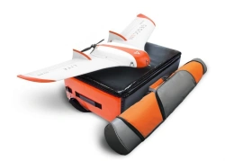
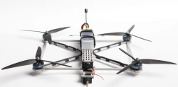
Беспилотное воздушное судно, входящее в состав комплекса, предназначено для выполнения воздушной разведки и наблюдения в режиме реального времени. Для выполнения поставленных задач оно оснащено двумя видеокамерами по 12 Мп, обеспечивающими 12-кратный гибридный зум и тепловизором разрешением 640х512.
Надежная система связи позволяет обеспечивать видеотрансляцию на расстоянии до 10 км, в том числе в условиях городской среды.

Напишите что вам нужно и получите предложения от проверенных поставщиков