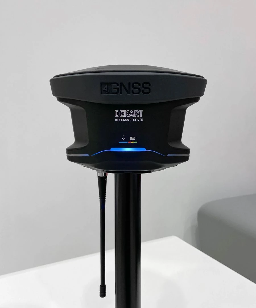
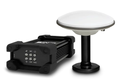
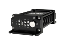
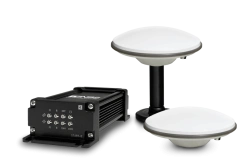
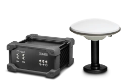
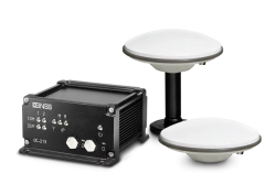
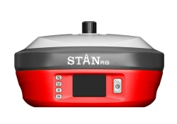
4GNSS DEKART is a geodetic satellite navigation receiver. It allows you to determine the coordinates of a point on the ground with centimetre accuracy in RTK (Real Time Kinematic) mode.
It is used in geodetic and cadastral works, construction support and surveying. Receives signals of GLONASS, GPS, Galileo, BeiDou satellite systems.
Combines in a single housing GNSS module, GNSS antenna, VHF and GSM modems, batteries with "hot swap" function. The receiver is controlled, configured and operated using the proprietary Web Survey software


أخبرنا بما تحتاجه واحصل على عروض أسعار من موردين موثوقين