

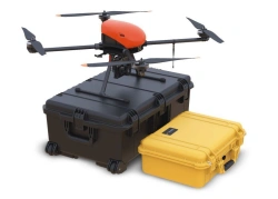
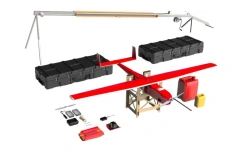
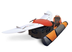
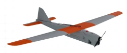
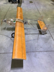
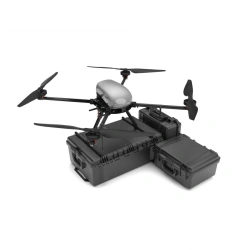
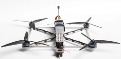
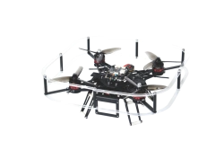
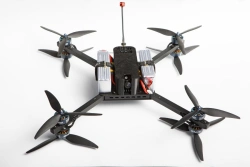
نظام مسح جوي غير مأهول لأغراض رسم الخرائط التشغيلية، والأعمال الجيوديسية، والمسح العقاري. تم تصميم Gemini لتسهيل الحصول على بيانات مكانية دقيقة بشكل أسرع وأرخص.
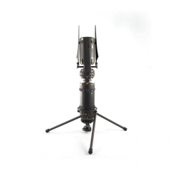
الكاميرا المدمجة بدقة 20.1 ميجابكسل من سوني توفر صورًا عالية الجودة، بينما يسمح جهاز الاستقبال الجيوديسي Topcon بالحصول على إحداثياتها بدقة سنتيمترية.


أخبرنا بما تحتاجه واحصل على عروض أسعار من موردين موثوقين